
When to go
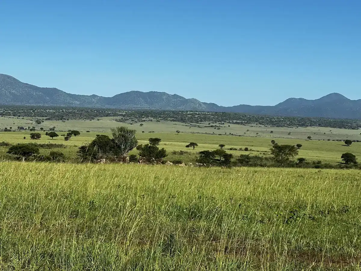
Rainfall can have a pronounced effect on access and the appearance of a dry-country landscape. Ask about the exact roads, crossings and areas currently being used for drives. Conditions at the accommodation do not necessarily describe the whole approach route.
Drier periods can concentrate interest around available water, but they can also mean heat and dust. Build the day around observation and rest rather than maximum distance. For a special birding interest, discuss recent local records without turning them into a sighting guarantee.
Sources: UWA: Kidepo Valley National Park · UWA: conservation tariff July 2024-June 2026
How to get there
An overland visit should be a considered journey through northeastern Uganda, with rest stops, accommodation and vehicle support planned. Obtain current route advice for the exact road, including any region-specific government guidance. Do not improvise a border-area detour based on a map alone.
Flying can make a shorter park stay more practical if a confirmed service fits. Ask who operates it, whether it is scheduled or chartered, what luggage is allowed and what happens if weather affects the flight. The lodge must confirm collection and the fallback plan before you commit.
Sources: UWA: Kidepo Valley National Park
Where to make your base
Choose a base inside or near the park that supports the areas you intend to explore. In a remote destination, the availability of meals, water, charging, communications and vehicle support matters as much as the room itself. Ask for clear answers rather than assuming city-level services.
If a property offers a view across the plains, check the actual drive programme and how much is included. Shared activities may have fixed times and routing. If travelling for photography or birding, clarify whether guiding can be adapted and what an exclusive vehicle would cost.
Sources: UWA: Kidepo Valley National Park
Wildlife, crowds and road conditions
Remoteness is an experience, not a promise of being alone or seeing every species associated with the park. Wildlife moves and some days will involve quiet stretches. A guide who interprets habitat and tracks helps make those periods part of the visit.
Dust, heat and distances can be tiring. Keep equipment protected, stay hydrated and follow the guide’s instructions around wildlife. Do not make an ambitious route dependent on finding fuel, repairs or a spare vehicle at the last moment; these arrangements should be part of the operator’s plan.
Sources: UWA: Kidepo Valley National Park
A useful day on the ground
Use a full day in a coherent area of the park, with the guide adapting to conditions and your interests. Agree whether to return for lunch or use an authorised picnic plan. Avoid choosing the farthest point merely to say you reached it.
If a community visit is offered, ask who hosts it, how payment is shared and what photography is welcome. The surrounding communities are contemporary societies, not an extension of the game drive. A respectful, specifically hosted visit is more useful than an unexplained stop inserted into the itinerary.
Sources: UWA: Kidepo Valley National Park
What the price should include
Ask for a written breakdown that separates accommodation, transport, entry and optional activities. A room price alone does not establish whether meals, guiding, vehicle use or transfers are included. Check which costs are per person, per vehicle or per booking before comparing two totals.
The public sources linked below do not establish a universal current price for every local activity. Where an amount is not confirmed, obtain a dated quotation from the authority or the service provider. Keep its cancellation terms with the booking, including the procedure if weather changes the activity.
How it fits into a route
Kidepo can form part of a longer northern or eastern Uganda journey, but connections to Murchison, Jinja or other regions are substantial stages. Give each an explicit travel plan rather than drawing a quick loop between distant park names.
For a short trip centred on gorillas, consider leaving Kidepo for another visit unless you can secure a sensible air arrangement and sufficient park time. Fewer destinations can produce a much fuller experience of the one remote place you chose.
Sources: UWA: Kidepo Valley National Park
Map reference
Approximate geographical reference: latitude 3.93, longitude 33.81. This locates the destination broadly; use the confirmed gate, airstrip, trailhead or accommodation pin for the actual journey.
3.93, 33.81Sources: Wikidata - Kidepo Valley National Park geographic record (CC0)
Questions & answers
Can I add Kidepo as a quick overnight?
Usually that defeats the purpose. It needs dedicated access planning and enough park time beyond the transfers.
Is there always a scheduled flight?
Do not assume so. Confirm the current operator, operating date, airstrip and weather fallback.
What is the park-entry reference?
UWA’s page displays foreign nonresident adult USD 40; confirm the actual booking rate because the linked general tariff has a June 2026 end date.
Is a remote lodge fully connected?
Ask about communications, power and emergency arrangements directly. Remoteness can affect these services.
Should I drive there independently?
Only with appropriate route knowledge, vehicle support, insurance and current regional advice. The complete recovery plan matters, not just navigation.
Sources & verification
Checked on 21 September 2026. Prices apply only to the visitor category and dates stated. Route timings, suggested stays and budget scenarios are editorial planning estimates unless a source is specified.
- UWA: Kidepo Valley National Park - checked 20 September 2026.
- UWA: conservation tariff July 2024-June 2026 - checked 20 September 2026. The document is labelled July 2024-June 2026. Unamended rates after that period require booking confirmation; the February 2026 notice is listed separately.
- UK FCDO: Uganda travel advice - checked 20 September 2026.
- UK FCDO: Uganda safety and security - checked 20 September 2026.
- Wikidata - Kidepo Valley National Park geographic record (CC0) - checked 21 September 2026. An approximate geographical reference, not a park gate, trailhead, hotel or navigation instruction. The original record may have coarse precision.
Published · Updated . Send a correction.