
When to go
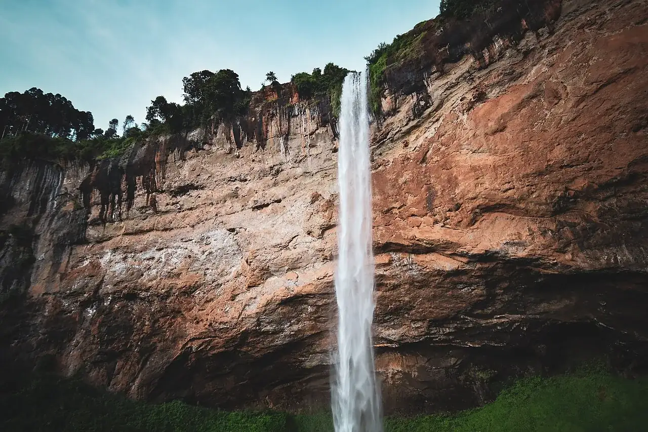
Water flow, mud and visibility change with rain. A powerful waterfall can be visually striking while the approach is more slippery. Choose the route based on current ground conditions and the group’s ability, not only a photograph of the falls.
Ask the guide which viewpoints and paths are currently suitable and what shorter alternative is available. A misty day may still support a local walk or coffee visit, but an exposed or steep route should not be kept simply because it was printed on the itinerary.
Sources: Uganda Tourism Board: cities · Uganda Tourism Board: adventure activities
How to get there
The road approach commonly fits an eastern route through the Mbale area. Confirm the property’s final directions and allow for traffic leaving the capital. Arriving late after a long drive is not a good basis for a rushed first waterfall walk.
If coming from Jinja, separate the river activity from the longest travel block where possible. A physically demanding rafting day followed by a long road transfer and an early highland walk can leave little recovery time. Have the operator explain the actual pickup, breaks and arrival hour.
Sources: Uganda Tourism Board: cities
Where to make your base
Choose accommodation according to access to the walks and the comfort you want between them. A dramatic view may come with slopes or steps; ask about the path to the room and dining area if that matters. Check warm bedding, hot water and how wet shoes and clothing can dry.
If planning a coffee-related visit, ask where it takes place and who hosts it. A property’s generic activity list does not establish a particular farmer’s availability or consent. Match the stay to a confirmed locally hosted experience instead of assuming one can always be arranged at the last minute.
Sources: Uganda Tourism Board: cities
Conditions on the trail and what to expect
Waterfall routes can involve uneven and slippery ground, with different levels of effort between viewpoints. Ask for a description of ascent, descent, duration and exposure. Do not accept a simple “easy walk” label without understanding what it means for your group.
Specialist activities such as abseiling need their own competent provider, equipment and insurance check. They are not a standard extension of an ordinary guided walk. If you prefer to watch or choose a gentler alternative, establish that before the group reaches the activity site.
Sources: Uganda Tourism Board: cities
A useful day on the ground
Give the main waterfall walk a full, flexible part of the day with time for breaks. Carry suitable footwear, water and rain protection, and let the guide adjust the route to conditions. Keep a safe distance from unprotected edges even when a photo angle looks attractive.
A separate coffee visit can explain cultivation and processing when hosted by people actually involved. Ask what is included, how payment reaches the host and whether purchases are optional. Avoid turning a community visit into an obligation to buy or an intrusive photography session.
Sources: Uganda Tourism Board: cities
What the price should include
Ask for a written breakdown that separates accommodation, transport, entry and optional activities. A room price alone does not establish whether meals, guiding, vehicle use or transfers are included. Check which costs are per person, per vehicle or per booking before comparing two totals.
The public sources linked below do not establish a universal current price for every local activity. Where an amount is not confirmed, obtain a dated quotation from the authority or the service provider. Keep its cancellation terms with the booking, including the procedure if weather changes the activity.
Sources: Uganda Tourism Board: cities
How it fits into a route
Jinja is the natural eastern companion for a journey combining river and highland interests. Kampala or Entebbe can frame arrival and departure, with enough road time allowed.
A full Mount Elgon trek is a separate commitment requiring its own park arrangements, support and equipment. Kidepo is also a major additional journey, not a nearby park that can be casually added because both destinations lie east of a western safari circuit.
Sources: Uganda Tourism Board: cities
Map reference
Approximate geographical reference: latitude 1.34, longitude 34.38. This locates the destination broadly; use the confirmed gate, airstrip, trailhead or accommodation pin for the actual journey.
1.34, 34.38Questions & answers
Is Sipi Falls a Mount Elgon summit trip?
No. A local waterfall stay and a full mountain trek are different products with different time and equipment needs.
Are the walks suitable for everyone?
Routes vary in slope and difficulty. Ask for a precise description and a shorter alternative matched to your group.
What is the current entry price?
We did not confirm a universal official all-inclusive fee. Get a dated breakdown of guiding, trail access and optional activities.
Can I combine Sipi with Jinja?
Yes, with a separate road stage and enough recovery time around demanding activities.
Is coffee tourism automatically community-run?
No. Ask who hosts the visit, who receives payment and whether participation and purchases are voluntary.
Sources & verification
Checked on 21 September 2026. Prices apply only to the visitor category and dates stated. Route timings, suggested stays and budget scenarios are editorial planning estimates unless a source is specified.
- Uganda Tourism Board: cities - checked 20 September 2026.
- Uganda Tourism Board: adventure activities - checked 20 September 2026.
- Uganda Tourism Board: destination catalogue 2025 - checked 20 September 2026.
- UK FCDO: Uganda safety and security - checked 20 September 2026.
- Wikidata - Sipi Falls geographic record (CC0) - checked 21 September 2026. An approximate geographical reference, not a park gate, trailhead, hotel or navigation instruction. The original record may have coarse precision.
Published · Updated . Send a correction.